
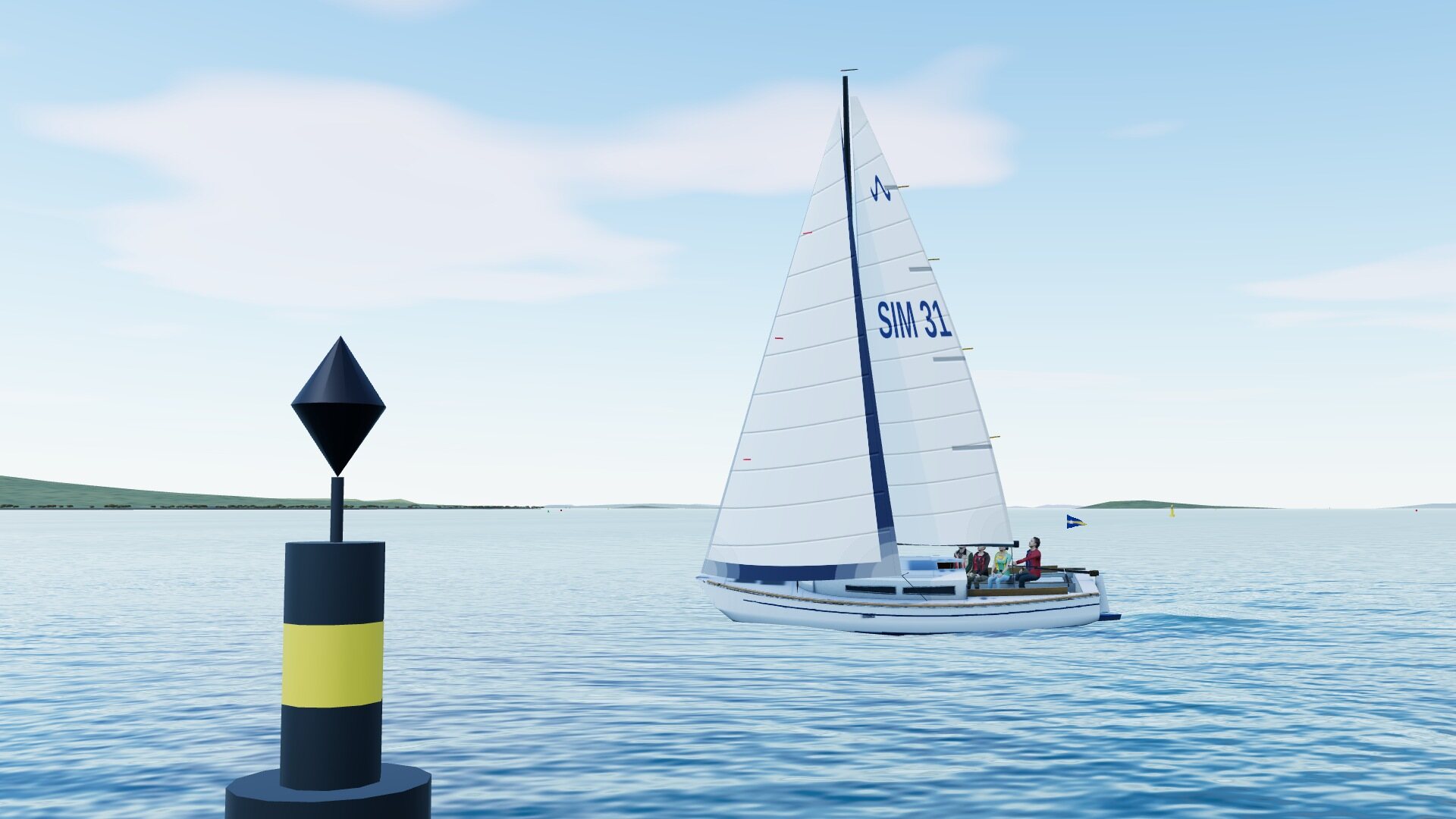
New Zealand, like Europe, Australia and most of Asia, uses the IALA A buoyage system. The Americas, Japan, Korea and the Philippines use IALA B, where the colours of the lateral marks are the other way round.
Lateral marks
Lateral marks show the sides of a channel. In IALA A, coming into harbour or going upstream, you keep the red, can-shaped port-hand marks on your port side and the green, cone-shaped starboard-hand marks on your starboard side. Going out of harbour, it’s the other way round. Where it isn’t obvious which way is “in”, the chart shows the direction of buoyage with an arrow.
Cardinal and other marks
Cardinal marks are placed north, east, south or west of a hazard, and you pass on the side they’re named after: pass to the north of a north cardinal. They’re yellow and black, and the two black cones on top point the way: both up for north, both down for south, points together for west (a “wasp-waist”) and points apart for east (an “egg”). At night they show quick or very quick white flashes in groups based on a clock face: continuous for north, three for east, six followed by one long flash for south, and nine for west.
An isolated danger mark, black with red bands and two black balls on top, sits right on a small danger with safe water all round it; at night it shows groups of two white flashes. A safe water mark, with red and white vertical stripes and a red ball on top, has navigable water all round it and is often found at the entrance to a channel. Yellow special marks show something particular, such as a racing mark, a cable or a speed limit zone, and the chart says which.
Charts
A nautical chart is a map of the sea; New Zealand’s are published by Land Information New Zealand (LINZ). Depths are shown in metres, measured from chart datum, a level close to the lowest astronomical tide, about the lowest the tide ever falls. The depth of water at any time is the charted depth plus the height of tide, which the tide tables give as a height above chart datum. Contour lines join points of the same depth, and the shallow areas are tinted blue. Drying heights, underlined, show banks that are uncovered at low water.
The chart also shows the buoys and lights with their characteristics, the type of seabed, wrecks and rocks, anchorages, cables and restricted areas. Check that the chart is up to date, and always study it before you go somewhere new. The simulator’s chart plotter is drawn from the same kind of information.
Tides
Around New Zealand, as on most coasts, there are two high and two low tides a day, with high and low water a little over six hours apart, so the times get later by about 50 minutes each day. The difference in height between high and low water is the range; in the Waitematā Harbour it’s about 1.7 metres at neaps and 2.8 metres at springs, and a little over 3 metres at the biggest tides. The range is biggest at springs, a day or two after full and new moon, and smallest at neaps, a day or two after half moon.
The tide doesn’t rise at a steady rate. A rough guide is the rule of twelfths: in the first hour after low water it rises by one twelfth of its range, in the second by two twelfths, in the third and fourth by three twelfths each, and in the fifth and sixth by two and one. It gives a quick estimate of whether there will be enough water over a bank at a given time.
Tidal streams
As the tide rises and falls, the water moves: a tidal stream. It runs in on the rising tide, the flood, and out on the falling tide, the ebb, and is strongest in the middle of each. In narrow entrances and between headlands it can run at several knots, enough to stop a small yacht making progress, or to set her sideways onto a hazard. The chart and local tidal stream information give its direction and rate. Plan to go with the stream where you can. When the wind blows against the stream, the waves become short and steep.
Check yourself
Answer each one from memory before you look at the answer; recalling it is what fixes it in your mind. Tap an answer to check it.
-
Crossing a tidal stream, what is the difference between heading and course over ground (COG)?
Try it in the simCrossing a tidal streamShow the answer
D. Heading is where the bow points; COG is where you actually go. In a stream the water itself moves, so she goes where the bow points plus where the water carries her.
-
Coming into harbour in New Zealand (IALA A), which side do you keep the green marks?
Try it in the simBuoyage and harbour entryShow the answer
B. Your starboard side. Coming in: red to port, green to starboard. Going out it is the other way round.
-
You are crossing north and the stream sets you east. Which way do you point?
Try it in the simCrossing a tidal streamShow the answer
A. A little west of north, up into the stream. Aim up into the stream by just enough that COG stays on the line you want.
-
Leaving harbour, which side are the red marks?
Try it in the simBuoyage and harbour entryShow the answer
A. Your starboard side. The lateral marks are laid for a boat coming in. Going out, red marks are on your starboard side.